
Products - Survey
| Survey-Reference Stations | |||
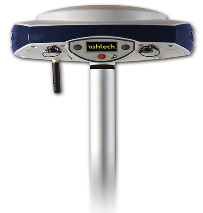 |
Spectra Precision ProMark 800 The ProMark 800 rover and rover/base system offer GPS+GLONASS+20 years of field-proven technologies for surveying and geodesy. This powerful RTK survey solution delivers state-of-the art GNSS in a smart, compact, light and cable-free design that gives you maximum mobility and flexibility in the field.
|
||
|
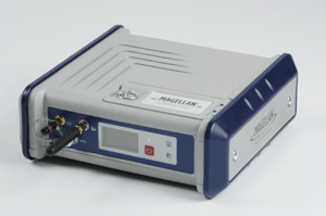
Spectra Precision ProFlex 800 The ProFlex 500 can work as either a base or a rover and is available in a variety of configurations from L1 DGPS up to L1/L2 GPS+GLONASS+SBAS. It the ideal solution for onboard system integration - it can be mounted easily on a machine or vehicle for land or sea operations - and it is also a perfect backpack rover or base station solution for precise land surveying. |
||
Spectra Precision ProMark 220 The Spectra Precision ProMark™
220 GNSS system is the most costeffective
dual-frequency network RTK
rover.
It comes standard with L1L2 GPS+GLONASS, RTK, NTRIP and direct IP. |
|||
| |
Spectra Precision ProMark 120 The ProMark 120
GNSS system is the most versatile
post-processing solution, designed
for easy and efficient land survey
applications. The ProMark 120 can be upgraded to GLONASS and RTK. |
||
For more information please visit these Web sites:
|
|||